Technology,
put to the test in the field.
01 · Understand02 · Test03 · Apply
From building a drone to automating a task with AI, I make technology understandable and useful, with Benin as my point of reference.
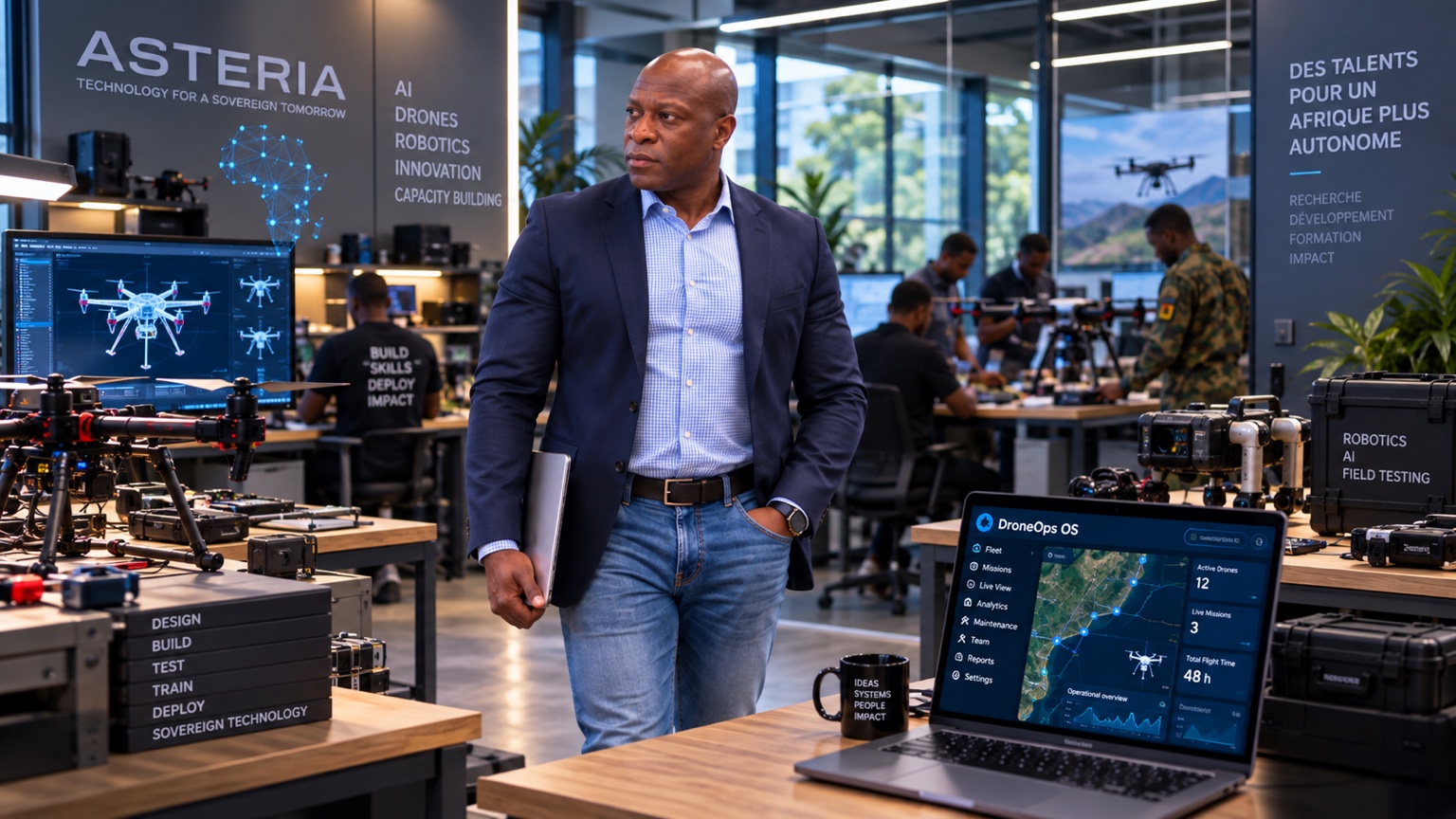
Credentials
WUAVF appointment — certificate presented on 23 May 2026
Speaker — Drone World Congress / UASE, 22 May 2026
24 years in IT, including 18 years in European institutions
MY APPROACH
The value of technology
lies in how we use it.
I am the founder of ASTERIA in Cotonou and Benin representative of the World UAV Federation (WUAVF). Drawing on 24 years of IT experience, I connect drones, artificial intelligence, robotics and AI automation to practical needs, from surveying land to working with data and simplifying repetitive tasks.
EXPLORE THE FIELD NOTES
Understand. Test. Apply.
Accessible explanations.
Clearly stated limitations.
01 / UNDERSTAND
How a drone measures terrain
From a laser pulse to a terrain model. Educational animation using simulated data.
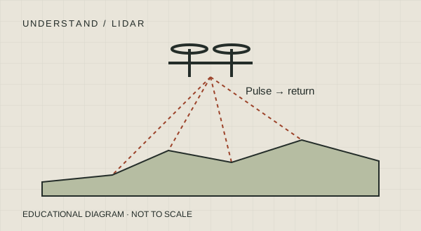 Watch the animation · 26 s · French
Flight controller and ESC
Follow control signals and power through to the motors. An animated diagram explaining the components.
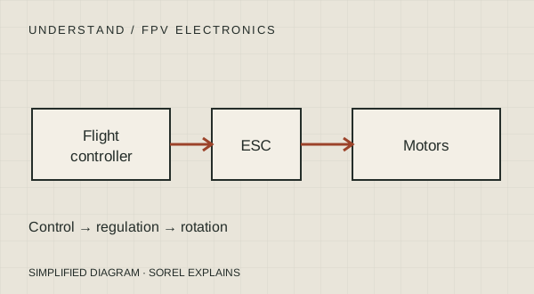 Watch the diagram · 31 s · French
02 / TEST
Field test records
No test results have been published on this page yet. The first field test record will appear here.
- Date & location
- To be completed
- Equipment
- To be completed
- Method
- To be completed
- Findings
- To be completed
- Limitations
- To be completed
03 / APPLY
Is an aerial photograph enough to measure a plot of land?
Define the measurements and accuracy you need before choosing a drone.
Read the articleA MINUTE IN THE WORKSHOP
One image.
A different perspective.
Move the slider to reveal a grid and reference points on this illustrative plot.
Educational diagram. Adding a grid alone does not turn a photograph into a map. Distortions must be corrected and accuracy verified.
FOUR AREAS OF EXPERTISE / ONE APPROACH
Understand the tools.
Choose how to use them.
01
Drones
FPV assembly, observation and mapping. Match technical choices to practical field requirements.
Explore the explanations02
Artificial intelligence
Understand how a model analyses information, what it can offer and how to verify its response.
Demonstrations coming soon
03
Robotics
Connect sensors, decisions and actuators to understand how a machine perceives and acts.
Demonstrations coming soon
04
AI automation
Organise repetitive tasks, use AI where it adds value and keep people in control.
Explore a sample workflowEDUCATIONAL EXAMPLE / NO MEASURED SAVINGS CLAIMED
From an incoming message to an approved reply.
- ReceiveA request comes in.
- PrepareAI suggests a category and a draft reply.
- ReviewA person reviews and corrects it.
- SendThe reply is sent after approval.
This diagram illustrates an approach. It does not describe a client deployment.
LEARN / BUILD / COLLABORATE
What is your next step?
FOR LEARNERS
Discover FPV
A planned workshop built around a demonstration and a practical exercise. No date has been announced yet.
Register my interest (email)FOR BUSINESSES
Define a practical need
Plot observation, mapping or task automation. Start with the problem to define an approach.
Describe my needs (WhatsApp or email)PARTNERS & INSTITUTIONS
Explore a collaboration
Benin representative of the World UAV Federation (WUAVF), founder of ASTERIA.
Discuss an educational talk, a workshop or a technology project in Benin.
Start a conversation (WhatsApp or email)TAKE AWAY / FREE GUIDE
Your first drone.
Piece by piece.
The components, compatibility checks and first bench tests.
Drone training and services
FPV training
Radio controller basics, simulator exercises and an introduction to assembly.
Discuss trainingDrone mapping
Define the surveys and maps needed to monitor a construction site or observe a plot of land.
Discuss my sitePrecision agriculture
Observe plots and identify useful aerial information before taking action.
Discuss my plotLET’S TAKE THE NEXT STEP
What challenge
are you facing?
To discuss a practical need, propose a collaboration or arrange a talk, contact me at info@asteria.bj.